Title:
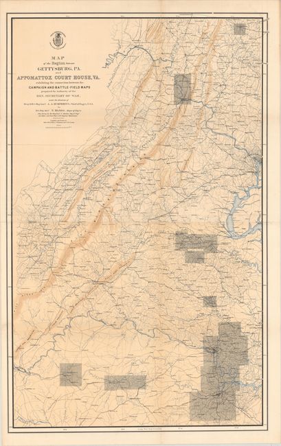
“Map of the Region Between Gettysburg, PA. and Appomattox Court House, VA.”
Map Maker:
U.S. War Department
This very large map is the index map for a set of ... (full text available to subscribers)
| Item Detail |
| |
| |
MapMaker: |
U.S. War Department
|
|
| |
| |
Subject: |
Pennsylvania & Virginia, Civil War |
|
| |
Period/Size: |
1869 / 43.8" x 27.4" (111.3 x 69.6 cm)
|
|
| |
Color: |
Colored
|
|
| |
Condition: |
(A) Crisp impression on sound paper. Backed with archival tissue to repair a small fold separation at top and short edge tear at lower left. (condition help) |
|
| |
Source: |
|
|
| |
References: |
Phillips (Atlases) #3688-1; Stephenson (CW) #518. |
|
| |
|
|
| Sales Information |
| |
| |
Price: |
|
|
| |
| |
Offered by: |
Old World Auctions |
|
| |
Catalog: |
Auction No. 177 - Antique Maps, Charts, Atlases & Globes (9498) |
|
| |
Lot/Item #: |
132 |
|
| |
| |
Date: |
04/2020
|
|
| |
| |
|
Antique Maps - Valuation and Pricing, Descriptions, Resources |
|
Home |
Information |
Search |
Register |
Contact Us |
Site Map
Americana Exchange, Inc. © 1999 - 2024 Americana Exchange, Inc.. All rights reserved.
OldMaps.com, the OldMaps.com logo and
AMPR are service marks or registered service marks of Americana Exchange, Inc..
|