| Item Detail |
| |
| |
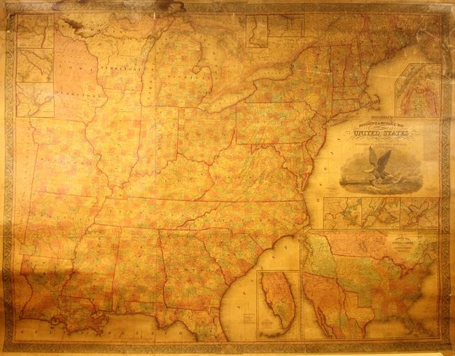
MapMaker: |
Mitchell/Young
|
|
| |
| |
Subject: |
United States |
|
| |
Period/Size: |
1845 / 52.5" x 67.0" (133.4 x 170.2 cm)
|
|
| |
Color: |
Colored
|
|
| |
Condition: |
(B) A good example with the typical light toning caused by the varnish and minor foxing. There are some minor cracks and abrasions at top right, and a dampstain at top left that extends about 7" into the image. There are a few edge tears in the margins (condition help) |
|
| |
Source: |
|
|
| |
References: |
Ristow, pp. 309-310. |
|
| |
|
|
| Sales Information |
| |
| |
Price: |
|
|
| |
| |
Offered by: |
Old World Auctions |
|
| |
Catalog: |
Auction No. 177 - Antique Maps, Charts, Atlases & Globes (9498) |
|
| |
Lot/Item #: |
106 |
|
| |
| |
Date: |
04/2020
|
|
| |
| |
|