| Item Detail |
| |
| |
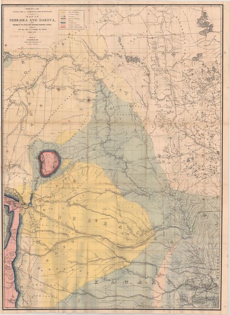
MapMaker: |
Gouverneur Kemble Warren
|
|
| |
| |
Subject: |
Central United States |
|
| |
Period/Size: |
1867 / 43.3" x 31.5" (110.0 x 80.1 cm)
|
|
| |
Color: |
Colored
|
|
| |
Condition: |
(B) Issued folding with scattered foxing, light offsetting, and several minor fold separations. Trimmed close to the border at left, as issued. (condition help) |
|
| |
Source: |
Final Report of the United States Geological Survey of Nebraska |
|
| |
References: |
Marcou & Marcou #628. |
|
| |
|
|
| Sales Information |
| |
| |
Price: |
|
|
| |
| |
Offered by: |
Old World Auctions |
|
| |
Catalog: |
Auction No. 177 - Antique Maps, Charts, Atlases & Globes (9498) |
|
| |
Lot/Item #: |
155 |
|
| |
| |
Date: |
04/2020
|
|
| |
| |
|