| Item Detail |
| |
| |
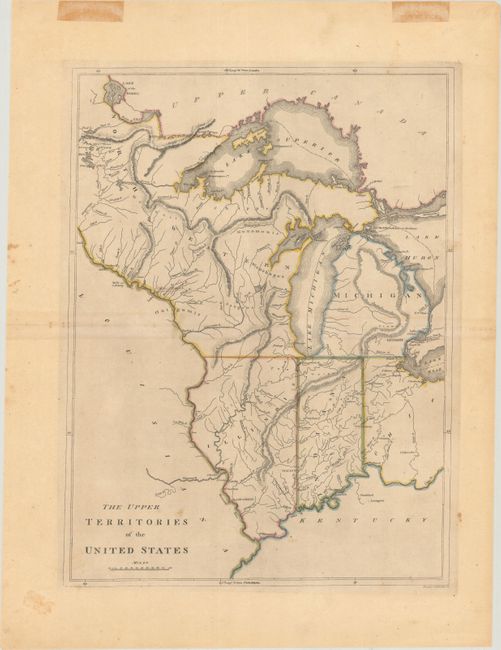
MapMaker: |
Mathew Carey
|
|
| |
| |
Subject: |
Central United States |
|
| |
Period/Size: |
1814 / 17.0" x 12.7" (43.2 x 32.3 cm)
|
|
| |
Color: |
Colored
|
|
| |
Condition: |
(B+) A crisp impression with contemporary outline color, minor toning that is a bit more pronounced along the centerfold, and a few spots of foxing. There are old tape stains in the top blank margin, well away from the image. (condition help) |
|
| |
Source: |
Carey's General Atlas |
|
| |
References: |
Karpinski, p. 215; Phillips (Atlases) #1372-25. |
|
| |
|
|
| Sales Information |
| |
| |
Price: |
|
|
| |
| |
Offered by: |
Old World Auctions |
|
| |
Catalog: |
Auction No. 177 - Antique Maps, Charts, Atlases & Globes (9498) |
|
| |
Lot/Item #: |
150 |
|
| |
| |
Date: |
04/2020
|
|
| |
| |
|