| Item Detail |
| |
| |
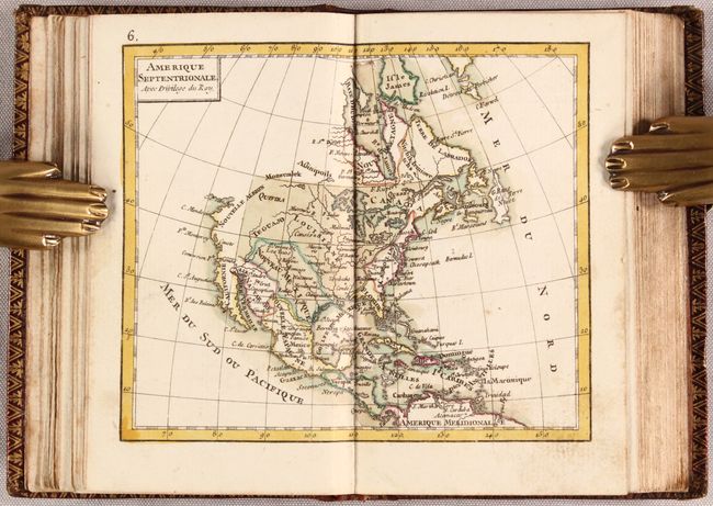
MapMaker: |
Giovanni Antonio Rizzi-Zannoni
|
|
| |
| |
Subject: |
Atlases, World |
|
| |
Period/Size: |
1775 / 5.1" x 3.4" (13.0 x 8.7 cm)
|
|
| |
Color: |
Colored
|
|
| |
Condition: |
(A) Maps are in near fine condition with contemporary color and occasional minor soiling, marginal stains, and a short edge tear on one of the maps of France. Covers are lightly scuffed with bumped corners and a few stains on the back cover. (condition help) |
|
| |
Source: |
|
|
| |
References: |
cf. Shirley (BL Atlases) T.RIZ-1b. |
|
| |
|
|
| Sales Information |
| |
| |
Price: |
|
|
| |
| |
Offered by: |
Old World Auctions |
|
| |
Catalog: |
Auction No. 177 - Antique Maps, Charts, Atlases & Globes (9498) |
|
| |
Lot/Item #: |
780 |
|
| |
| |
Date: |
04/2020
|
|
| |
| |
|