| Item Detail |
| |
| |
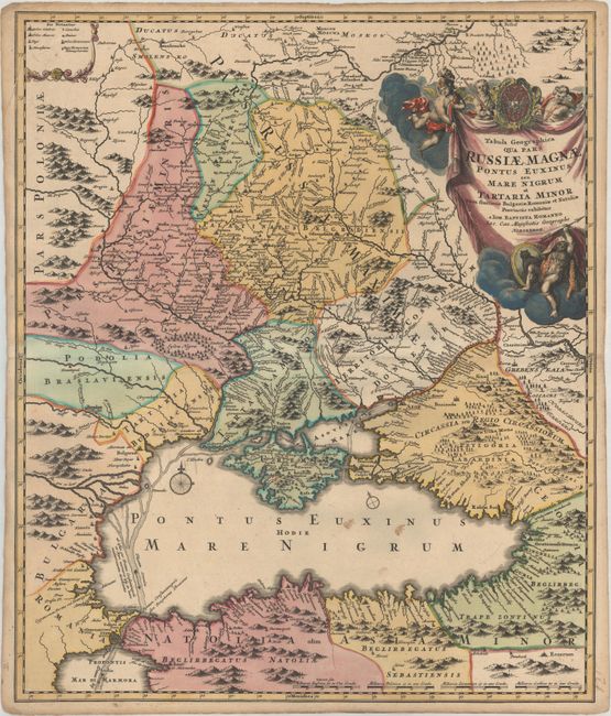
MapMaker: |
Johann Baptist Homann
|
|
| |
| |
Subject: |
Ukraine, Russia & Black Sea |
|
| |
Period/Size: |
1716 / 22.5" x 18.9" (57.2 x 48.0 cm)
|
|
| |
Color: |
Colored
|
|
| |
Condition: |
(B+) A dark impression on paper with an "SS" watermark, contemporary color in the map and later color in the cartouche. There are some spots of soiling in the Black Sea and light toning along the edges of the sheet. (condition help) |
|
| |
Source: |
|
|
| |
References: |
Vavrychyn, Dashkevych & Kryshtalovych, Vol. II, p.132-33. |
|
| |
|
|
| Sales Information |
| |
| |
Price: |
|
|
| |
| |
Offered by: |
Old World Auctions |
|
| |
Catalog: |
Auction No. 177 - Antique Maps, Charts, Atlases & Globes (9498) |
|
| |
Lot/Item #: |
510 |
|
| |
| |
Date: |
04/2020
|
|
| |
| |
|