| Item Detail |
| |
| |
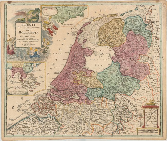
MapMaker: |
Johann Baptist Homann
|
|
| |
| |
Subject: |
Netherlands, New England & Southeast Asia |
|
| |
Period/Size: |
1716 / 19.0" x 22.2" (48.3 x 56.4 cm)
|
|
| |
Color: |
Colored
|
|
| |
Condition: |
(B+) Watermarked paper with contemporary color in the map and later color in the cartouche, a few small stains, and an archivally repaired centerfold separation at bottom. (condition help) |
|
| |
Source: |
|
|
| |
References: |
|
|
| |
|
|
| Sales Information |
| |
| |
Price: |
|
|
| |
| |
Offered by: |
Old World Auctions |
|
| |
Catalog: |
Auction No. 177 - Antique Maps, Charts, Atlases & Globes (9498) |
|
| |
Lot/Item #: |
405 |
|
| |
| |
Date: |
04/2020
|
|
| |
| |
|