| Item Detail |
| |
| |
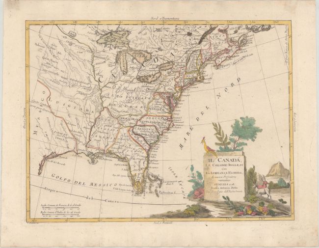
MapMaker: |
Antonio Zatta
|
|
| |
| |
Subject: |
Colonial Eastern United States & Canada |
|
| |
Period/Size: |
1778 / 11.9" x 15.9" (30.3 x 40.4 cm)
|
|
| |
Color: |
Colored
|
|
| |
Condition: |
(A) On sturdy watermarked paper with full contemporary color. There are a few negligible spots and a printer's crease in the image. Old tape stains in the top blank margin, well away from map image. (condition help) |
|
| |
Source: |
|
|
| |
References: |
Rumsey #5007; Shirley (BL Atlases) T.ZAT-1a, Vol. IV #39. |
|
| |
|
|
| Sales Information |
| |
| |
Price: |
|
|
| |
| |
Offered by: |
Old World Auctions |
|
| |
Catalog: |
Auction No. 178 - Antique Maps, Charts, Atlases & Globes (9499) |
|
| |
Lot/Item #: |
87 |
|
| |
| |
Date: |
06/2020
|
|
| |
| |
|