| Item Detail |
| |
| |
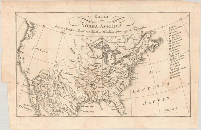
MapMaker: |
Eberhard August Wilhem von Zimmerman
|
|
| |
| |
Subject: |
United States, Franklin |
|
| |
Period/Size: |
1817 / 6.2" x 10.3" (15.8 x 26.2 cm)
|
|
| |
Color: |
Black & White
|
|
| |
Condition: |
(B+) Issued folding with faint dampstains along two fold junctions. There is a 1.5" binding tear at left that has been closed on verso with archival tape. (condition help) |
|
| |
Source: |
|
|
| |
References: |
cf. Dotson & Baker (Old World Auctions - State of Franklin Maps) #21. |
|
| |
|
|
| Sales Information |
| |
| |
Price: |
|
|
| |
| |
Offered by: |
Old World Auctions |
|
| |
Catalog: |
Auction No. 178 - Antique Maps, Charts, Atlases & Globes (9499) |
|
| |
Lot/Item #: |
96 |
|
| |
| |
Date: |
06/2020
|
|
| |
| |
|