| Item Detail |
| |
| |
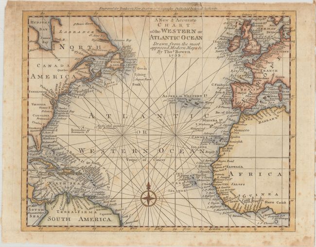
MapMaker: |
Thomas Bowen
|
|
| |
| |
Subject: |
North Atlantic Ocean |
|
| |
Period/Size: |
1788 / 8.5" x 10.5" (21.6 x 26.7 cm)
|
|
| |
Color: |
Colored
|
|
| |
Condition: |
(B) Issued folding with scattered foxing and two short fold separations at top that have been closed on verso with a combination of archival and non-archival tape. (condition help) |
|
| |
Source: |
Bankes's New System of Geography |
|
| |
References: |
Shirley (BL Atlases) T.BANK-1a #9. |
|
| |
|
|
| Sales Information |
| |
| |
Price: |
|
|
| |
| |
Offered by: |
Old World Auctions |
|
| |
Catalog: |
Auction No. 178 - Antique Maps, Charts, Atlases & Globes (9499) |
|
| |
Lot/Item #: |
283 |
|
| |
| |
Date: |
06/2020
|
|
| |
| |
|