| Item Detail |
| |
| |
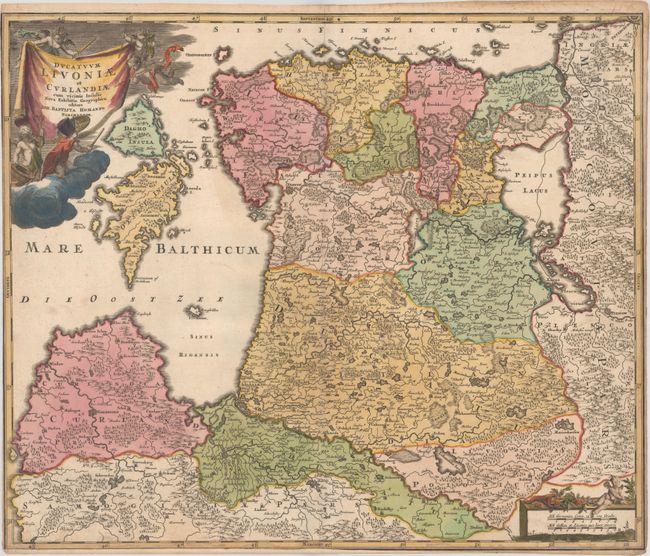
MapMaker: |
Johann Baptist Homann
|
|
| |
| |
Subject: |
Baltic, Estonia & Latvia |
|
| |
Period/Size: |
1716 / 19.2" x 22.8" (48.8 x 58.0 cm)
|
|
| |
Color: |
Colored
|
|
| |
Condition: |
(B+) A crisp impression on a bright sheet with contemporary color in the map and later color in the cartouches. There is light soiling, toning along the edges of the sheet, and some damp staining at bottom that just enters the map border. Trimmed to the (condition help) |
|
| |
Source: |
Neuer Atlas uber die Gantze Welt |
|
| |
References: |
|
|
| |
|
|
| Sales Information |
| |
| |
Price: |
|
|
| |
| |
Offered by: |
Old World Auctions |
|
| |
Catalog: |
Auction No. 178 - Antique Maps, Charts, Atlases & Globes (9499) |
|
| |
Lot/Item #: |
311 |
|
| |
| |
Date: |
06/2020
|
|
| |
| |
|