| Item Detail |
| |
| |
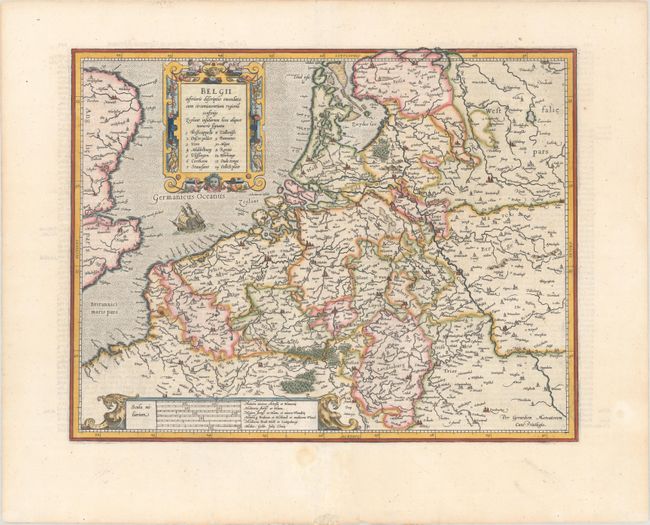
MapMaker: |
Gerard Mercator
|
|
| |
| |
Subject: |
Low Countries |
|
| |
Period/Size: |
1619 / 14.0" x 18.0" (35.6 x 45.8 cm)
|
|
| |
Color: |
Colored
|
|
| |
Condition: |
(A) A crisp impression on a bright sheet with professional repairs to a short, clean cut in the image adjacent to the centerfold and marginal soiling. (condition help) |
|
| |
Source: |
Gerardi Mercatoris - Atlas sive Cosmographicaeģ |
|
| |
References: |
Van der Krogt (Vol. I) #3000H:1A. |
|
| |
|
|
| Sales Information |
| |
| |
Price: |
|
|
| |
| |
Offered by: |
Old World Auctions |
|
| |
Catalog: |
Auction No. 178 - Antique Maps, Charts, Atlases & Globes (9499) |
|
| |
Lot/Item #: |
321 |
|
| |
| |
Date: |
06/2020
|
|
| |
| |
|