Title:
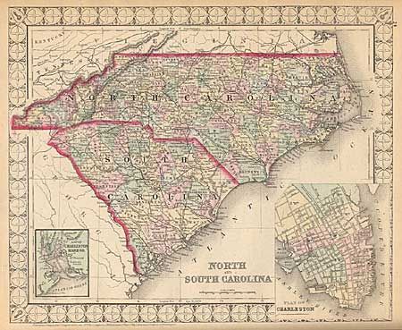
“Mitchell's New Atlas of the United States and Territories, together with Plans of the Principal Cities. Designed to Accompany and Illustrate the Centennial Gazetteer of the United States.”
Map Maker:
Samuel Augustus Mitchell
Partial atlas containing 28 maps only. Includes N... (full text available to subscribers)
| Item Detail |
| |
| |
MapMaker: |
Samuel Augustus Mitchell
|
|
| |
| |
Subject: |
Atlas |
|
| |
Period/Size: |
1874 / 15.5" x 13.0" (39.4 x 33.1 cm)
|
|
| |
Color: |
Colored
|
|
| |
Condition: |
(B) Brown embossed and gilt cloth covers. Spine poor, covers rubbed and bumped. Maps are good to very good. (condition help) |
|
| |
Source: |
|
|
| |
References: |
|
|
| |
|
|
| Sales Information |
| |
| |
Price: |
|
|
| |
| |
Offered by: |
Old World Auctions |
|
| |
Catalog: |
Auction No. 97 - Antique Maps, Charts, Atlases & Globes (169) |
|
| |
Lot/Item #: |
580 |
|
| |
| |
Date: |
12/2001
|
|
| |
| |
|
Antique Maps - Valuation and Pricing, Descriptions, Resources |
|
Home |
Information |
Search |
Register |
Contact Us |
Site Map
Americana Exchange, Inc. © 1999 - 2024 Americana Exchange, Inc.. All rights reserved.
OldMaps.com, the OldMaps.com logo and
AMPR are service marks or registered service marks of Americana Exchange, Inc..
|