| Item Detail |
| |
| |
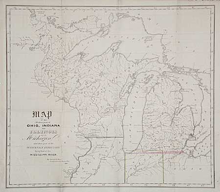
MapMaker: |
David H. Burr
|
|
| |
| |
Subject: |
Central United States |
|
| |
Period/Size: |
1838 / 12.9" x 14.7" (32.8 x 37.4 cm)
|
|
| |
Color: |
Colored
|
|
| |
Condition: |
(B) Good impression and original hand coloring. Map is very good, with just two areas of surface soil and short tear at binding edge. (condition help) |
|
| |
Source: |
HR Report 380, 24th Cong., 1st Session |
|
| |
References: |
Karpinski #135; Koepp 29. |
|
| |
|
|
| Sales Information |
| |
| |
Price: |
|
|
| |
| |
Offered by: |
Old World Auctions |
|
| |
Catalog: |
Auction No. 97 - Antique Maps, Charts, Atlases & Globes (169) |
|
| |
Lot/Item #: |
147 |
|
| |
| |
Date: |
12/2001
|
|
| |
| |
|