|
|
||

 |
Showing record #446 of 500. |

 |
Return to list New Search |
Title:
“Plan de Paris Par Roussel Caqpt. Ingénieur en 1700.”
Map Maker:
ROUSSEL, C.
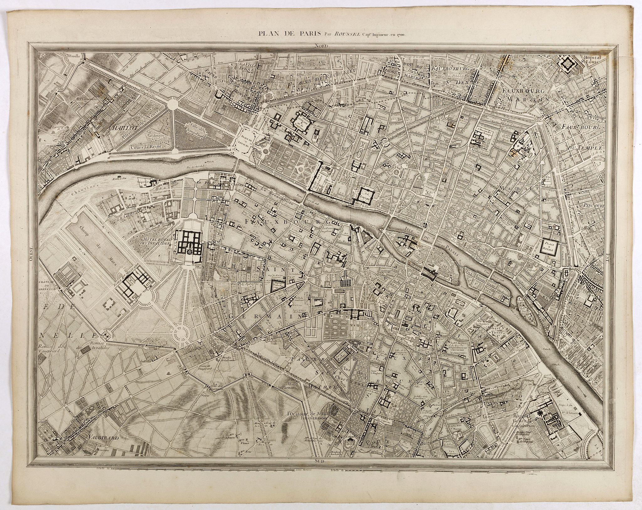
Plan of the center of Paris by Claude Roussel (165... (full text available to subscribers)
|
|
|||||||||||||||||||||||||||||||||||||||||||||||||||||||||||||||||||||||||||||||||||||||||
Antique Maps - Valuation and Pricing, Descriptions, Resources | ||||||||||||||||||||||||||||||||||||||||||||||||||||||||||||||||||||||||||||||||||||||||||
|
Home |
Information |
Search |
Register |
Contact Us |
Site Map
Americana Exchange, Inc. © 1999 - 2024 Americana Exchange, Inc.. All rights reserved.
OldMaps.com, the OldMaps.com logo and |