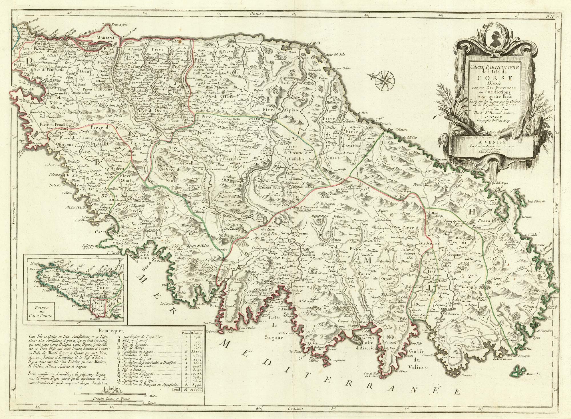
Title:
“Carte Particuliere de L'Isle de Corse Divisée par ses Dix Provinces ou Juridictions et ses quatre Fiefs. Levée sur les Lieux par les Orders de la Republique de Genes et mise au Jour Par le S.r Bernard Antoine Jaillot Gégraphe Ord.re du Roy”
Map Maker:
Santini/Remondini
A detailed 18th century map of Corsica after Jaill... (full text available to subscribers)
| Item Detail |
| |
| |
MapMaker: |
Santini/Remondini
|
|
| |
| |
Subject: |
Corsica |
|
| |
Period/Size: |
1784 / 26.0" x 19.1" (66.0 x 48.5 cm)
|
|
| |
Color: |
Unknown
|
|
| |
Condition: |
(condition help) |
|
| |
Source: |
|
|
| |
References: |
|
|
| |
|
|
| Sales Information |
| |
| |
Price: |
|
|
| |
| |
Offered by: |
Altea Gallery |
|
| |
Catalog: |
New Additions July 2021 (9523) |
|
| |
Lot/Item #: |
21914 |
|
| |
| |
Date: |
07/2021
|
|
| |
| |
|
Antique Maps - Valuation and Pricing, Descriptions, Resources |
|
Home |
Information |
Search |
Register |
Contact Us |
Site Map
Americana Exchange, Inc. © 1999 - 2024 Americana Exchange, Inc.. All rights reserved.
OldMaps.com, the OldMaps.com logo and
AMPR are service marks or registered service marks of Americana Exchange, Inc..
|


