Title:
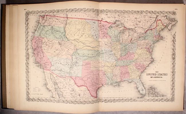
“Colton's Atlas of America, Illustrating the Physical and Political Geography of North and South America and the West India Islands...”
Map Maker:
Joseph Hutchins Colton
This attractive folio atlas contains 61 of the 63 ... (full text available to subscribers)
| Item Detail |
| |
| |
MapMaker: |
Joseph Hutchins Colton
|
|
| |
| |
Subject: |
Atlases |
|
| |
Period/Size: |
1857 / 18.4" x 15.8" (46.8 x 40.2 cm)
|
|
| |
Color: |
Colored
|
|
| |
Condition: |
(B+) The maps range from good to near fine with overall pleasant light toning and offsetting on some maps from advertisements on opposing pages. This offsetting is more prominent on the maps of eastern Canada, Missouri, Baltimore and Washington D.C. The (condition help) |
|
| |
Source: |
|
|
| |
References: |
|
|
| |
|
|
| Sales Information |
| |
| |
Price: |
|
|
| |
| |
Offered by: |
Old World Auctions |
|
| |
Catalog: |
Auction No. 179 - Antique Maps, Charts, Atlases & Globes (9525) |
|
| |
Lot/Item #: |
869 |
|
| |
| |
Date: |
09/2020
|
|
| |
| |
|
Antique Maps - Valuation and Pricing, Descriptions, Resources |
|
Home |
Information |
Search |
Register |
Contact Us |
Site Map
Americana Exchange, Inc. © 1999 - 2024 Americana Exchange, Inc.. All rights reserved.
OldMaps.com, the OldMaps.com logo and
AMPR are service marks or registered service marks of Americana Exchange, Inc..
|