| Item Detail |
| |
| |
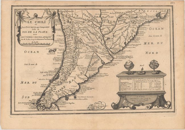
MapMaker: |
Nicholas de Fer
|
|
| |
| |
Subject: |
Southern South America |
|
| |
Period/Size: |
1705 / 8.6" x 13.3" (21.9 x 33.8 cm)
|
|
| |
Color: |
Black & White
|
|
| |
Condition: |
(B+) A dark impression on lightly toned paper with a bunch of grapes watermark and very light offsetting. There are archival repairs to a short centerfold separation at top and a tear confined to the left blank margin. (condition help) |
|
| |
Source: |
L'Atlas Curieux ou le Monde |
|
| |
References: |
Pastoureau, FER I [114]. |
|
| |
|
|
| Sales Information |
| |
| |
Price: |
|
|
| |
| |
Offered by: |
Old World Auctions |
|
| |
Catalog: |
Auction No. 179 - Antique Maps, Charts, Atlases & Globes (9525) |
|
| |
Lot/Item #: |
438 |
|
| |
| |
Date: |
09/2020
|
|
| |
| |
|