| Item Detail |
| |
| |
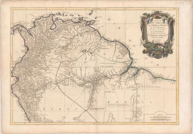
MapMaker: |
Anville/Santini
|
|
| |
| |
Subject: |
Northern South America |
|
| |
Period/Size: |
1779 / 18.3" x 26.3" (46.5 x 66.8 cm)
|
|
| |
Color: |
Colored
|
|
| |
Condition: |
(B+) A nice impression with contemporary outline color in the map and later color in the cartouche, on paper with a large "R" watermark. There is light soiling, a few minor creases, and faint damp stains in blank margins, just entering map less than 1" a (condition help) |
|
| |
Source: |
Atlas Universel Dresse sur les Meilleures Cartes Modernes |
|
| |
References: |
|
|
| |
|
|
| Sales Information |
| |
| |
Price: |
|
|
| |
| |
Offered by: |
Old World Auctions |
|
| |
Catalog: |
Auction No. 179 - Antique Maps, Charts, Atlases & Globes (9525) |
|
| |
Lot/Item #: |
411 |
|
| |
| |
Date: |
09/2020
|
|
| |
| |
|