| Item Detail |
| |
| |
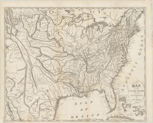
MapMaker: |
William Darby
|
|
| |
| |
Subject: |
Eastern United States |
|
| |
Period/Size: |
1817 / 18.2" x 22.5" (46.3 x 57.2 cm)
|
|
| |
Color: |
Black & White
|
|
| |
Condition: |
(B+) A nice impression, issued folding and now flattened with light soiling. There are professional repairs to a number of separations along the folds and to a binding tear that extends 5" into the image at top right. The binding trim at right has also (condition help) |
|
| |
Source: |
|
|
| |
References: |
cf. Howes #D61; cf. Wheat (TMW) #326; cf. Sabin #18527. |
|
| |
|
|
| Sales Information |
| |
| |
Price: |
|
|
| |
| |
Offered by: |
Old World Auctions |
|
| |
Catalog: |
Auction No. 179 - Antique Maps, Charts, Atlases & Globes (9525) |
|
| |
Lot/Item #: |
162 |
|
| |
| |
Date: |
09/2020
|
|
| |
| |
|