Rister or Sign In to see pricing information


Title:

A New Map of Spain and Portugal, Divided Into Their Respective Kingdoms and Provinces from the Latest Authorities

Map Maker:

John Cary

A New Map of Spain and Portugal, Divided Into Their Respective Kingdoms and Provinces from the Latest Authorities

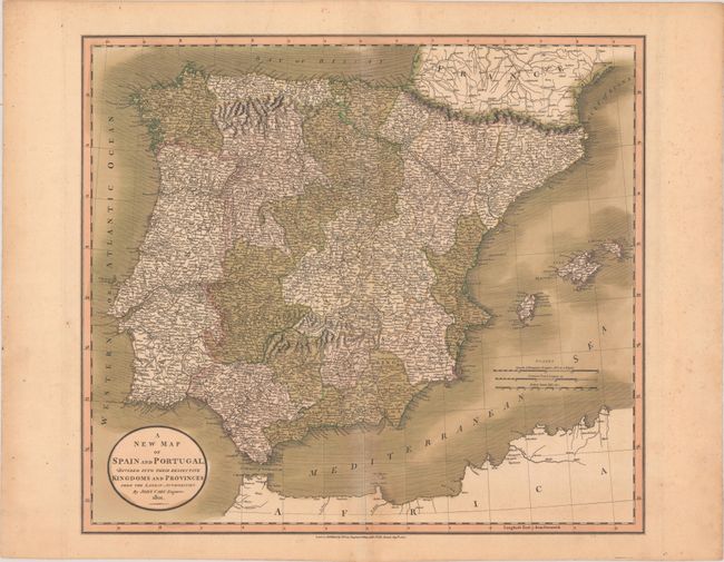
This densely engraved map of the Iberian Peninsula... (full text available to subscribers)
Item Detail
 
  MapMaker:  

John Cary


  Subject:  Spain & Portugal  
  Period/Size:  1801 / 17.9" x 20.2"  (45.5 x 51.3 cm)  
  Color:  Colored  
  Condition:  (B+) Full contemporary color with minor toning along the centerfold and edges of the sheet, as well as marginal foxing. (condition help)  
  Source:   
  References:   
 
 
Sales Information
 
  Price: 

Please register your email to view records, or sign in with email address to see records


  Offered by:  Old World Auctions  
  Catalog:  Auction No. 179 - Antique Maps, Charts, Atlases & Globes (9525)  
  Lot/Item #:  541  
 
  Date:  09/2020  


Antique Maps - Valuation and Pricing, Descriptions, Resources


Home | Information | Search | Register | Contact Us | Site Map

Americana Exchange, Inc. © 1999 - 2024 Americana Exchange, Inc.. All rights reserved. OldMaps.com, the OldMaps.com logo and
AMPR are service marks or registered service marks of Americana Exchange, Inc..