| Item Detail |
| |
| |
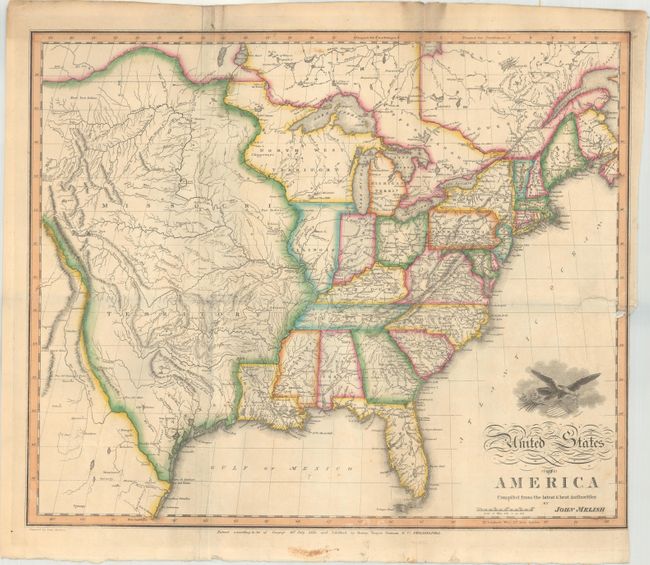
MapMaker: |
John Melish
|
|
| |
| |
Subject: |
Eastern United States |
|
| |
Period/Size: |
1818 / 16.1" x 19.5" (40.9 x 49.6 cm)
|
|
| |
Color: |
Colored
|
|
| |
Condition: |
(B) Issued folding with a binding trim at lower right and a related 3" binding tear that has been closed on verso with paper tape. Several folds have also been backed on verso with paper tape to both reinforce and repair a few minor separations. Minor s (condition help) |
|
| |
Source: |
|
|
| |
References: |
Wheat (TMW) #327. |
|
| |
|
|
| Sales Information |
| |
| |
Price: |
|
|
| |
| |
Offered by: |
Old World Auctions |
|
| |
Catalog: |
Auction No. 179 - Antique Maps, Charts, Atlases & Globes (9525) |
|
| |
Lot/Item #: |
164 |
|
| |
| |
Date: |
09/2020
|
|
| |
| |
|