| Item Detail |
| |
| |
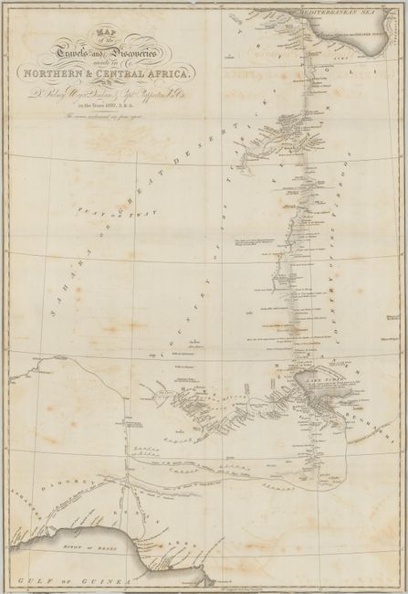
MapMaker: |
John Murray
|
|
| |
| |
Subject: |
Books, Northern & Central Africa |
|
| |
Period/Size: |
1826 / 9.3" x 5.9" (23.7 x 15.0 cm)
|
|
| |
Color: |
Black & White
|
|
| |
Condition: |
The folding map is trimmed to the border on all sides with light offsetting and scattered foxing. Text and plates are very good with only occasional foxing. Rebound with some sunning, light wear, and bumped edges. Map (B) / Text, Plates & Binding (B (condition help) |
|
| |
Source: |
|
|
| |
References: |
|
|
| |
|
|
| Sales Information |
| |
| |
Price: |
|
|
| |
| |
Offered by: |
Old World Auctions |
|
| |
Catalog: |
Auction No. 179 - Antique Maps, Charts, Atlases & Globes (9525) |
|
| |
Lot/Item #: |
783 |
|
| |
| |
Date: |
09/2020
|
|
| |
| |
|