| Item Detail |
| |
| |
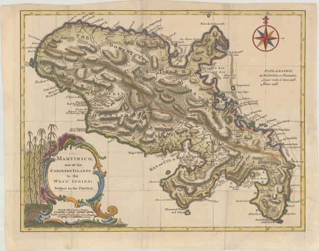
MapMaker: |
John Hinton
|
|
| |
| |
Subject: |
Martinique |
|
| |
Period/Size: |
1759 / 10.6" x 13.5" (27.0 x 34.3 cm)
|
|
| |
Color: |
Colored
|
|
| |
Condition: |
(B+) Issued folding, now flattened on paper with a large Brittannia watermark and very light soiling. A binding trim at right has been replaced with old paper and an adjacent 1" tear has been archivally repaired. (condition help) |
|
| |
Source: |
Universal Magazine |
|
| |
References: |
Jolly #UNIV-75; Sellers & Van Ee #2050. |
|
| |
|
|
| Sales Information |
| |
| |
Price: |
|
|
| |
| |
Offered by: |
Old World Auctions |
|
| |
Catalog: |
Auction No. 179 - Antique Maps, Charts, Atlases & Globes (9525) |
|
| |
Lot/Item #: |
400 |
|
| |
| |
Date: |
09/2020
|
|
| |
| |
|