| Item Detail |
| |
| |
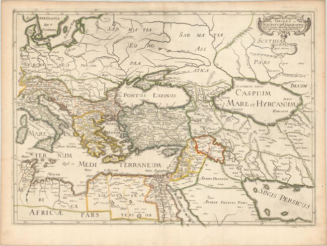
MapMaker: |
Nicolas Sanson
|
|
| |
| |
Subject: |
Eastern Mediterranean & Middle East |
|
| |
Period/Size: |
1679 / 15.8" x 22.1" (40.2 x 56.2 cm)
|
|
| |
Color: |
Colored
|
|
| |
Condition: |
(A) Contemporary outline color on a sheet with an elaborate coat of arms watermark. There is light printer's ink residue, especially concentrated at top and at bottom right, and marginal toning. (condition help) |
|
| |
Source: |
|
|
| |
References: |
cf. Pastoureau, Sanson V A [103]. |
|
| |
|
|
| Sales Information |
| |
| |
Price: |
|
|
| |
| |
Offered by: |
Old World Auctions |
|
| |
Catalog: |
Auction No. 179 - Antique Maps, Charts, Atlases & Globes (9525) |
|
| |
Lot/Item #: |
668 |
|
| |
| |
Date: |
09/2020
|
|
| |
| |
|