| Item Detail |
| |
| |
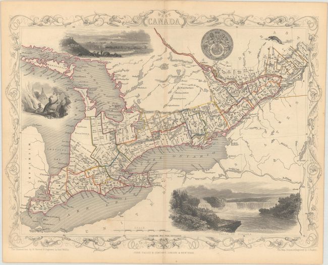
MapMaker: |
John Tallis
|
|
| |
| |
Subject: |
Eastern Canada, Great Lakes |
|
| |
Period/Size: |
1850 / 9.8" x 12.9" (24.9 x 32.8 cm)
|
|
| |
Color: |
Colored
|
|
| |
Condition: |
(B+) Contemporary outline color with minor toning along the centerfold, a couple minor spots, and a few small holes along the centerfold. (condition help) |
|
| |
Source: |
Illustrated Atlas and Modern History of the World |
|
| |
References: |
|
|
| |
|
|
| Sales Information |
| |
| |
Price: |
|
|
| |
| |
Offered by: |
Old World Auctions |
|
| |
Catalog: |
Auction No. 179 - Antique Maps, Charts, Atlases & Globes (9525) |
|
| |
Lot/Item #: |
114 |
|
| |
| |
Date: |
09/2020
|
|
| |
| |
|