| Item Detail |
| |
| |
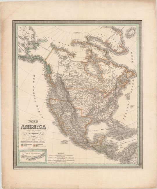
MapMaker: |
Carl Ferdinand Weiland
|
|
| |
| |
Subject: |
North America |
|
| |
Period/Size: |
1830 / 22.9" x 19.9" (58.2 x 50.6 cm)
|
|
| |
Color: |
Colored
|
|
| |
Condition: |
(B+) Contemporary outline color with some faint spots, minor offsetting, and a few small holes at top that have been closed on verso with archival materials. Portions of the map have been backed in archival tissue on verso, closing some edge tears in the (condition help) |
|
| |
Source: |
|
|
| |
References: |
|
|
| |
|
|
| Sales Information |
| |
| |
Price: |
|
|
| |
| |
Offered by: |
Old World Auctions |
|
| |
Catalog: |
Auction No. 179 - Antique Maps, Charts, Atlases & Globes (9525) |
|
| |
Lot/Item #: |
100 |
|
| |
| |
Date: |
09/2020
|
|
| |
| |
|