| Item Detail |
| |
| |
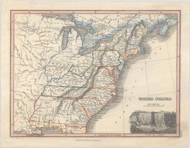
MapMaker: |
James Wyld
|
|
| |
| |
Subject: |
Eastern United States, Franklin |
|
| |
Period/Size: |
1824 / 8.7" x 11.6" (22.1 x 29.5 cm)
|
|
| |
Color: |
Colored
|
|
| |
Condition: |
(A) A nice impression on a sheet that has been professionally backed with tissue. There is light printer's ink residue. (condition help) |
|
| |
Source: |
A General Atlas… |
|
| |
References: |
Dotson & Baker (OWA) #30.2; Baynton-Williams (TMC-72) p. 17, #17. |
|
| |
|
|
| Sales Information |
| |
| |
Price: |
|
|
| |
| |
Offered by: |
Old World Auctions |
|
| |
Catalog: |
Auction No. 179 - Antique Maps, Charts, Atlases & Globes (9525) |
|
| |
Lot/Item #: |
166 |
|
| |
| |
Date: |
09/2020
|
|
| |
| |
|