| Item Detail |
| |
| |
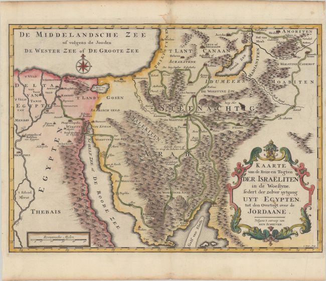
MapMaker: |
Augustin Calmet
|
|
| |
| |
Subject: |
Holy Land |
|
| |
Period/Size: |
1730 / 12.9" x 17.6" (32.8 x 44.7 cm)
|
|
| |
Color: |
Colored
|
|
| |
Condition: |
(A) Crisp impressions on a bright sheet with the watermarks of "Beavuais" and a fleur-de-lis coat of arms. There are two errant ink spots in the image, a hint of offsetting, and damp stains in the top and bottom blank margins. (condition help) |
|
| |
Source: |
Het Algemeen Groot Historisch, Oordeelkundig, Chronologisch, Geografisch ... van |
|
| |
References: |
cf. Laor #162. |
|
| |
|
|
| Sales Information |
| |
| |
Price: |
|
|
| |
| |
Offered by: |
Old World Auctions |
|
| |
Catalog: |
Auction No. 179 - Antique Maps, Charts, Atlases & Globes (9525) |
|
| |
Lot/Item #: |
698 |
|
| |
| |
Date: |
09/2020
|
|
| |
| |
|