| Item Detail |
| |
| |
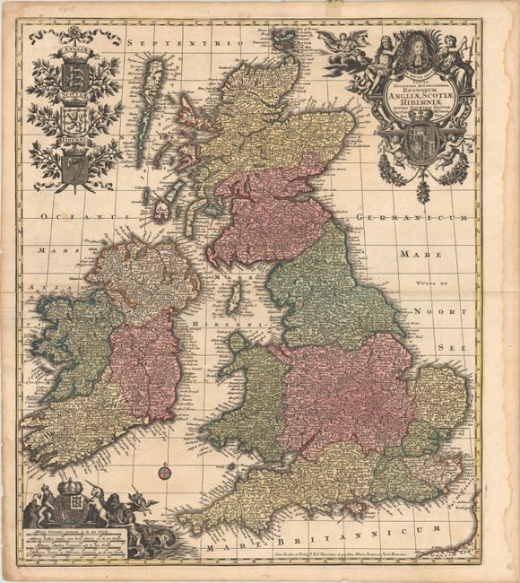
MapMaker: |
Matthaus Seutter
|
|
| |
| |
Subject: |
Britain |
|
| |
Period/Size: |
1735 / 22.8" x 19.3" (58.0 x 49.1 cm)
|
|
| |
Color: |
Colored
|
|
| |
Condition: |
(B+) Contemporary color with short fold separations at left and right that have been closed on verso with archival materials. There are a few minor spots in the image, a bit of creasing around the fold, and a dampstain confined to the right blank margin. (condition help) |
|
| |
Source: |
Atlas Novus |
|
| |
References: |
Shirley (BI to 1750) Seutter #1. |
|
| |
|
|
| Sales Information |
| |
| |
Price: |
|
|
| |
| |
Offered by: |
Old World Auctions |
|
| |
Catalog: |
Auction No. 180 - Antique Maps, Charts, Atlases & Globes (9526) |
|
| |
Lot/Item #: |
404 |
|
| |
| |
Date: |
11/2020
|
|
| |
| |
|