| Item Detail |
| |
| |
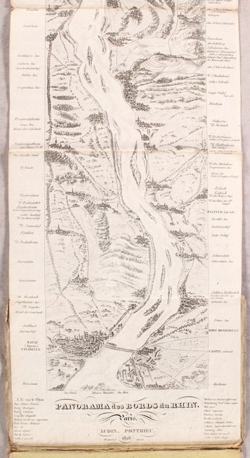
MapMaker: |
Audin Ponthieu
|
|
| |
| |
Subject: |
Rhine River, Germany |
|
| |
Period/Size: |
1828 / 86.0" x 8.8" (218.5 x 22.4 cm)
|
|
| |
Color: |
Black & White
|
|
| |
Condition: |
(B+) The map is on a bright sheet with light soiling mostly around the folds and where the maps folds into the covers. There are no tears or separations. Covers are soiled and worn. (condition help) |
|
| |
Source: |
|
|
| |
References: |
|
|
| |
|
|
| Sales Information |
| |
| |
Price: |
|
|
| |
| |
Offered by: |
Old World Auctions |
|
| |
Catalog: |
Auction No. 180 - Antique Maps, Charts, Atlases & Globes (9526) |
|
| |
Lot/Item #: |
511 |
|
| |
| |
Date: |
11/2020
|
|
| |
| |
|