| Item Detail |
| |
| |
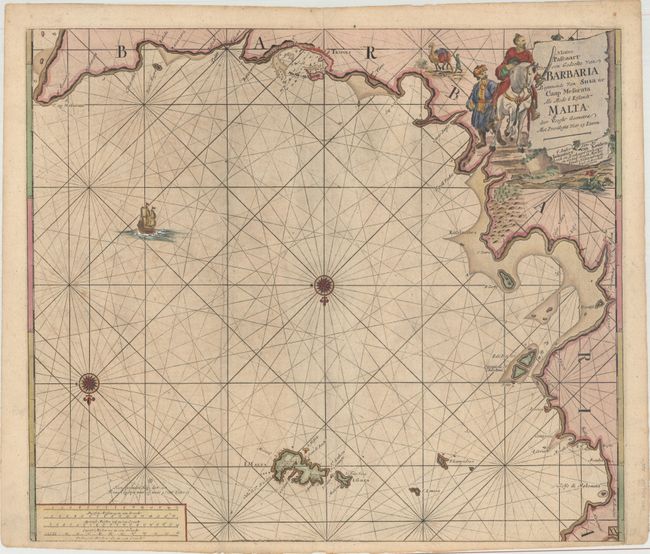
MapMaker: |
Johannes van Keulen
|
|
| |
| |
Subject: |
Northern Africa & Malta |
|
| |
Period/Size: |
1680 / 20.1" x 23.3" (51.1 x 59.2 cm)
|
|
| |
Color: |
Colored
|
|
| |
Condition: |
(B+) A nice example with light soiling, two printer's creases adjacent to the centerfold, and a few tiny edge tears. (condition help) |
|
| |
Source: |
De Nieuwe Groote Lichtende Zee-Fackel |
|
| |
References: |
|
|
| |
|
|
| Sales Information |
| |
| |
Price: |
|
|
| |
| |
Offered by: |
Old World Auctions |
|
| |
Catalog: |
Auction No. 180 - Antique Maps, Charts, Atlases & Globes (9526) |
|
| |
Lot/Item #: |
601 |
|
| |
| |
Date: |
11/2020
|
|
| |
| |
|