| Item Detail |
| |
| |
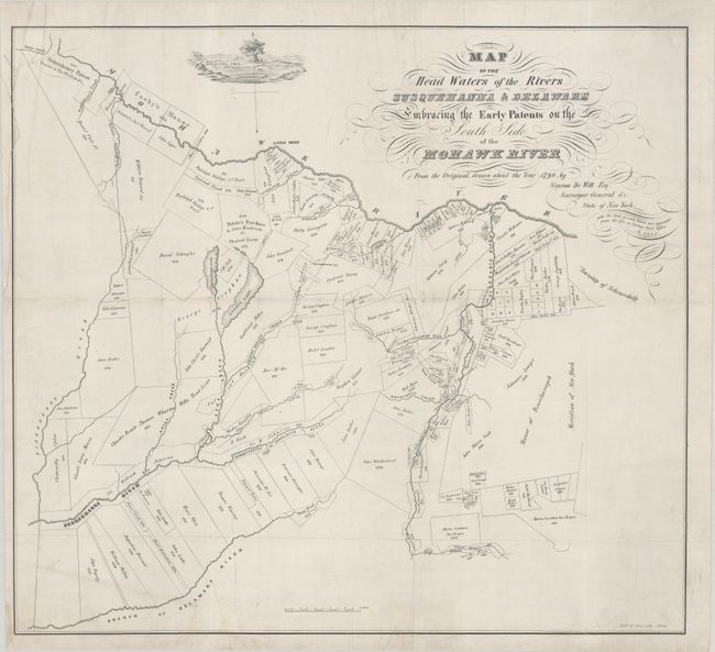
MapMaker: |
Richard H. Pease
|
|
| |
| |
Subject: |
Southern New York |
|
| |
Period/Size: |
1850 / 19.6" x 21.7" (49.8 x 55.2 cm)
|
|
| |
Color: |
Black & White
|
|
| |
Condition: |
(B+) Issued folding, now flattened with minor soiling. The map has been professionally backed in linen to repair several short fold separations, tiny holes at fold intersections, a short tear at bottom, and a tear that runs along the top left corner of t (condition help) |
|
| |
Source: |
The Documentary History of the State of New York |
|
| |
References: |
|
|
| |
|
|
| Sales Information |
| |
| |
Price: |
|
|
| |
| |
Offered by: |
Old World Auctions |
|
| |
Catalog: |
Auction No. 180 - Antique Maps, Charts, Atlases & Globes (9526) |
|
| |
Lot/Item #: |
279 |
|
| |
| |
Date: |
11/2020
|
|
| |
| |
|