Title:
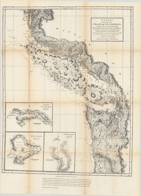
“A Chart Shewing Part of the Coast of N.W. America, with the Tracks of His Majesty’s Sloop Discovery and Armed Tender Chatham...”
Map Maker:
George Vancouver
This is the 1872 reproduction of Vancouver’s 1798 ... (full text available to subscribers)
| Item Detail |
| |
| |
MapMaker: |
George Vancouver
|
|
| |
| |
Subject: |
Northwestern United States & Canada |
|
| |
Period/Size: |
1872 / 27.9" x 21.8" (70.9 x 55.4 cm)
|
|
| |
Color: |
Black & White
|
|
| |
Condition: |
(B+) Issued folding with light toning along the fold lines and a few fold separations with minimal loss that have been closed on verso with archival tape. (condition help) |
|
| |
Source: |
|
|
| |
References: |
|
|
| |
|
|
| Sales Information |
| |
| |
Price: |
|
|
| |
| |
Offered by: |
Old World Auctions |
|
| |
Catalog: |
Auction No. 180 - Antique Maps, Charts, Atlases & Globes (9526) |
|
| |
Lot/Item #: |
121 |
|
| |
| |
Date: |
11/2020
|
|
| |
| |
|
Antique Maps - Valuation and Pricing, Descriptions, Resources |
|
Home |
Information |
Search |
Register |
Contact Us |
Site Map
Americana Exchange, Inc. © 1999 - 2024 Americana Exchange, Inc.. All rights reserved.
OldMaps.com, the OldMaps.com logo and
AMPR are service marks or registered service marks of Americana Exchange, Inc..
|