| Item Detail |
| |
| |
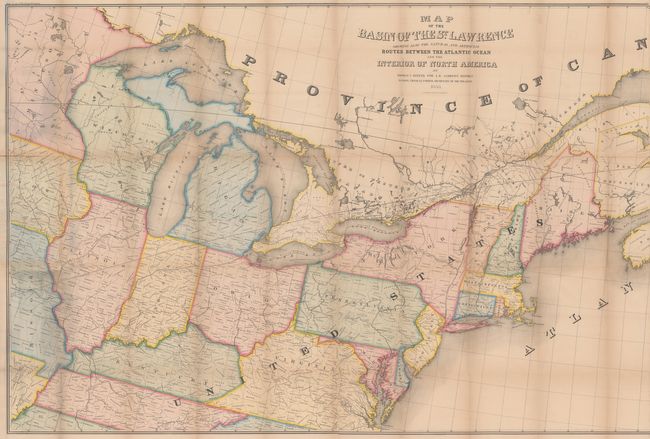
MapMaker: |
Israel D. Andrews
|
|
| |
| |
Subject: |
Eastern United States & Canada |
|
| |
Period/Size: |
1853 / 34.4" x 76.8" (87.4 x 195.1 cm)
|
|
| |
Color: |
Colored
|
|
| |
Condition: |
(B) Overall very good for a map of this size with numerous splits at the fold junctions and three larger fold separations measuring 2" (center), 3" (left side) and 6" (right side). There is pleasant light toning and a hint of offsetting. The map is stil (condition help) |
|
| |
Source: |
H.R. Doc. 136, 32nd Congress, 1st Session |
|
| |
References: |
|
|
| |
|
|
| Sales Information |
| |
| |
Price: |
|
|
| |
| |
Offered by: |
Old World Auctions |
|
| |
Catalog: |
Auction No. 180 - Antique Maps, Charts, Atlases & Globes (9526) |
|
| |
Lot/Item #: |
111 |
|
| |
| |
Date: |
11/2020
|
|
| |
| |
|