| Item Detail |
| |
| |
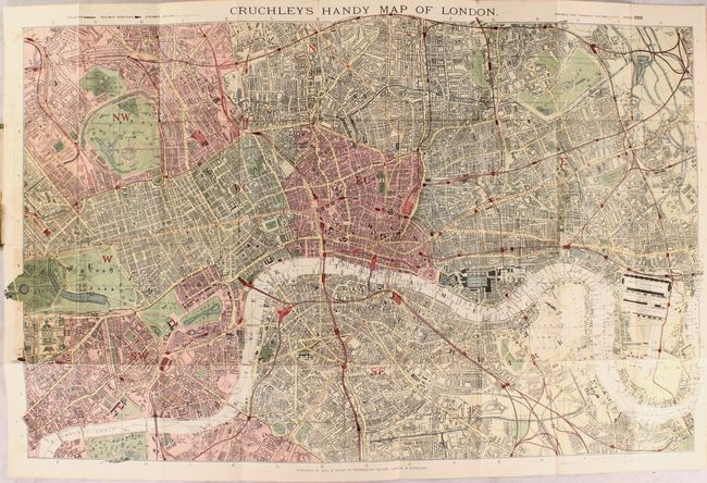
MapMaker: |
Gall & Inglis
|
|
| |
| |
Subject: |
London, England |
|
| |
Period/Size: |
1889 / 18.5" x 29.3" (47.0 x 74.5 cm)
|
|
| |
Color: |
Colored
|
|
| |
Condition: |
(B+) A bright example with a few spots of foxing and light toning at left where the map was glued into the boards. The title page of the booklet is also toned. The covers are lightly worn. (condition help) |
|
| |
Source: |
|
|
| |
References: |
|
|
| |
|
|
| Sales Information |
| |
| |
Price: |
|
|
| |
| |
Offered by: |
Old World Auctions |
|
| |
Catalog: |
Auction No. 180 - Antique Maps, Charts, Atlases & Globes (9526) |
|
| |
Lot/Item #: |
414 |
|
| |
| |
Date: |
11/2020
|
|
| |
| |
|