| Item Detail |
| |
| |
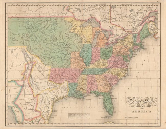
MapMaker: |
John Melish
|
|
| |
| |
Subject: |
Eastern United States |
|
| |
Period/Size: |
1827 / 16.8" x 21.1" (42.7 x 53.6 cm)
|
|
| |
Color: |
Colored
|
|
| |
Condition: |
(B+) Contemporary color with some faint toning along the centerfold and minor offsetting. A 2" centerfold separation at top has been closed with archival tape on verso. (condition help) |
|
| |
Source: |
A Complete Historical, Chronological, and Geographical American Atlas |
|
| |
References: |
cf. Wheat (TMW) #338; Phillips (A) #1177. |
|
| |
|
|
| Sales Information |
| |
| |
Price: |
|
|
| |
| |
Offered by: |
Old World Auctions |
|
| |
Catalog: |
Auction No. 180 - Antique Maps, Charts, Atlases & Globes (9526) |
|
| |
Lot/Item #: |
148 |
|
| |
| |
Date: |
11/2020
|
|
| |
| |
|