| Item Detail |
| |
| |
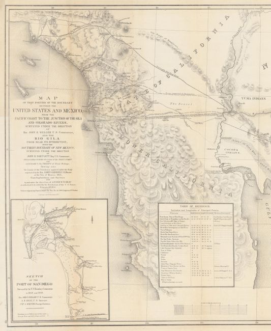
MapMaker: |
Andrew B. Gray
|
|
| |
| |
Subject: |
Southwestern United States & Mexico |
|
| |
Period/Size: |
1855 / 21.8" x 49.1" (55.4 x 124.8 cm)
|
|
| |
Color: |
Black & White
|
|
| |
Condition: |
(B+) Issued folding on two sheets joined, now pressed flat. There are a couple short separations and a binding tear that have been closed with archival tape on verso, a small chip by the title, and some light toning along the folds. (condition help) |
|
| |
Source: |
Sen. Ex. Doc. 55, 33rd Congress, 2nd Session |
|
| |
References: |
Wheat (TMW) #840. |
|
| |
|
|
| Sales Information |
| |
| |
Price: |
|
|
| |
| |
Offered by: |
Old World Auctions |
|
| |
Catalog: |
Auction No. 180 - Antique Maps, Charts, Atlases & Globes (9526) |
|
| |
Lot/Item #: |
319 |
|
| |
| |
Date: |
11/2020
|
|
| |
| |
|