| Item Detail |
| |
| |
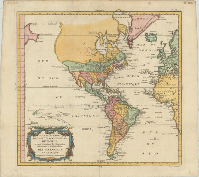
MapMaker: |
Etienne Andre Philippe De Pretot
|
|
| |
| |
Subject: |
Western Hemisphere - America |
|
| |
Period/Size: |
1788 / 13.4" x 14.1" (34.1 x 35.9 cm)
|
|
| |
Color: |
Colored
|
|
| |
Condition: |
(A) Issued folding, now flattened on paper with a bunch of grapes coat of arms watermark, a few minor spots, and marginal soiling. (condition help) |
|
| |
Source: |
Genty's l'Influence de la Decouverte de l'Amerique |
|
| |
References: |
|
|
| |
|
|
| Sales Information |
| |
| |
Price: |
|
|
| |
| |
Offered by: |
Old World Auctions |
|
| |
Catalog: |
Auction No. 180 - Antique Maps, Charts, Atlases & Globes (9526) |
|
| |
Lot/Item #: |
69 |
|
| |
| |
Date: |
11/2020
|
|
| |
| |
|