| Item Detail |
| |
| |
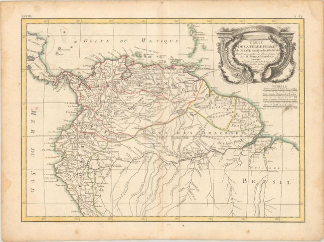
MapMaker: |
Bonne/Lattre
|
|
| |
| |
Subject: |
Northern South America |
|
| |
Period/Size: |
1771 / 12.1" x 16.9" (30.8 x 43.0 cm)
|
|
| |
Color: |
Colored
|
|
| |
Condition: |
(B+) Contemporary outline color on a watermarked sheet with light soiling, minor toning along the centerfold, and a couple of tiny holes in the image. There are damp stains confined to the edges of the sheet. (condition help) |
|
| |
Source: |
Atlas Moderne |
|
| |
References: |
|
|
| |
|
|
| Sales Information |
| |
| |
Price: |
|
|
| |
| |
Offered by: |
Old World Auctions |
|
| |
Catalog: |
Auction No. 181 - Antique Maps, Charts, Atlases & Globes (9527) |
|
| |
Lot/Item #: |
351 |
|
| |
| |
Date: |
02/2021
|
|
| |
| |
|