| Item Detail |
| |
| |
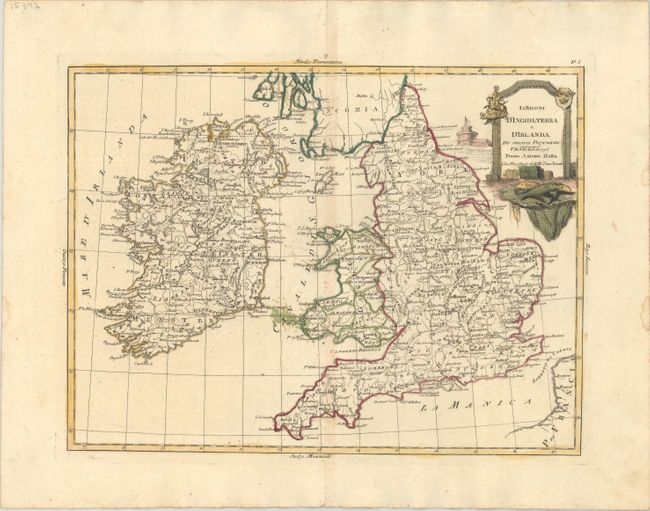
MapMaker: |
Antonio Zatta
|
|
| |
| |
Subject: |
England, Wales, & Ireland |
|
| |
Period/Size: |
1776 / 11.8" x 15.6" (30.0 x 39.7 cm)
|
|
| |
Color: |
Colored
|
|
| |
Condition: |
(B+) A nice impression with full contemporary color, minor toning along the centerfold, some errant colorist's ink in the Irish Sea, and a couple small dampstains in the right blank margin. (condition help) |
|
| |
Source: |
Atlante Novissimo |
|
| |
References: |
Shirley (BL Atlases) T.ZAT-1a #36. |
|
| |
|
|
| Sales Information |
| |
| |
Price: |
|
|
| |
| |
Offered by: |
Old World Auctions |
|
| |
Catalog: |
Auction No. 181 - Antique Maps, Charts, Atlases & Globes (9527) |
|
| |
Lot/Item #: |
402 |
|
| |
| |
Date: |
02/2021
|
|
| |
| |
|