| Item Detail |
| |
| |
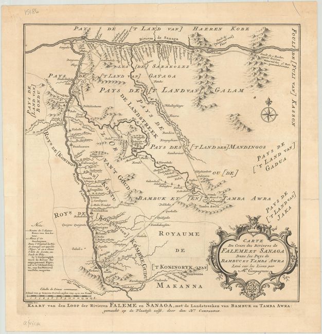
MapMaker: |
Bellin/Van Schley
|
|
| |
| |
Subject: |
Western Mali |
|
| |
Period/Size: |
1773 / 11.2" x 11.1" (28.5 x 28.2 cm)
|
|
| |
Color: |
Black & White
|
|
| |
Condition: |
(B+) Issued folding on a sheet with a fleur-de-lis coat of arms watermark. There is minor offsetting, faint dampstaining, and some short fold separations along the sheet's edges, including two that cross the neatline at top. (condition help) |
|
| |
Source: |
Historische Beschryving der Reizen... en Land-Togten... |
|
| |
References: |
|
|
| |
|
|
| Sales Information |
| |
| |
Price: |
|
|
| |
| |
Offered by: |
Old World Auctions |
|
| |
Catalog: |
Auction No. 181 - Antique Maps, Charts, Atlases & Globes (9527) |
|
| |
Lot/Item #: |
691 |
|
| |
| |
Date: |
02/2021
|
|
| |
| |
|