| Item Detail |
| |
| |
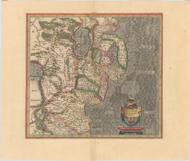
MapMaker: |
Mercator/Hondius
|
|
| |
| |
Subject: |
Northern Ireland |
|
| |
Period/Size: |
1613 / 13.6" x 14.9" (34.6 x 37.9 cm)
|
|
| |
Color: |
Colored
|
|
| |
Condition: |
(A) A crisp impression with full contemporary color on a bright sheet of watermarked paper with a hint of toning along the centerfold and a short centerfold separation in the bottom blank margin. There is paper tape along the top edge of the sheet on ver (condition help) |
|
| |
Source: |
Gerardi Mercatoris - Atlas sive Cosmographicaeģ |
|
| |
References: |
Law, p. 21; Van der Krogt (Vol. I) #5941:1.1. |
|
| |
|
|
| Sales Information |
| |
| |
Price: |
|
|
| |
| |
Offered by: |
Old World Auctions |
|
| |
Catalog: |
Auction No. 181 - Antique Maps, Charts, Atlases & Globes (9527) |
|
| |
Lot/Item #: |
437 |
|
| |
| |
Date: |
02/2021
|
|
| |
| |
|