| Item Detail |
| |
| |
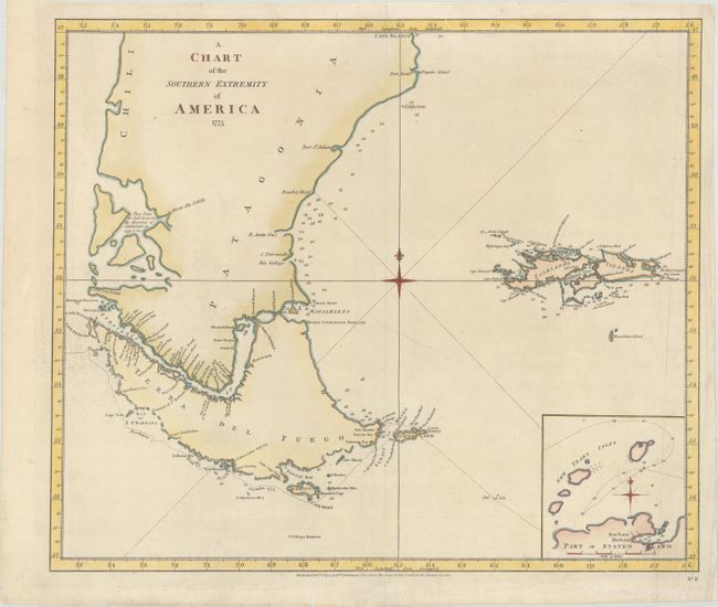
MapMaker: |
James Cook
|
|
| |
| |
Subject: |
Southern South America |
|
| |
Period/Size: |
1777 / 16.9" x 19.8" (43.0 x 50.3 cm)
|
|
| |
Color: |
Colored
|
|
| |
Condition: |
(B+) A nice example with marginal soiling and a 3" tear below the compass rose that has been professionally repaired. There is some creasing and a short tear in the bottom blank margin. (condition help) |
|
| |
Source: |
A Voyage Towards the South Pole, and Round the World |
|
| |
References: |
Shirley (BL Atlases) G.COOK-1a #13. |
|
| |
|
|
| Sales Information |
| |
| |
Price: |
|
|
| |
| |
Offered by: |
Old World Auctions |
|
| |
Catalog: |
Auction No. 181 - Antique Maps, Charts, Atlases & Globes (9527) |
|
| |
Lot/Item #: |
378 |
|
| |
| |
Date: |
02/2021
|
|
| |
| |
|