| Item Detail |
| |
| |
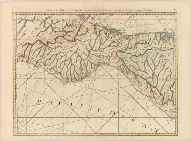
MapMaker: |
Jefferys/Sayer
|
|
| |
| |
Subject: |
Southern Mexico |
|
| |
Period/Size: |
1775 / 18.5" x 24.9" (47.0 x 63.3 cm)
|
|
| |
Color: |
Colored
|
|
| |
Condition: |
(B+) A sharp impression on sturdy paper with a large fleur-de-lis coat of arms watermark, very light soiling, a hint of offsetting, and archivally repaired centerfold separations at top and bottom, only entering map border at bottom. (condition help) |
|
| |
Source: |
The West Indian Atlas |
|
| |
References: |
Shirley (BL Atlases) M.JEF-4a #15. |
|
| |
|
|
| Sales Information |
| |
| |
Price: |
|
|
| |
| |
Offered by: |
Old World Auctions |
|
| |
Catalog: |
Auction No. 181 - Antique Maps, Charts, Atlases & Globes (9527) |
|
| |
Lot/Item #: |
324 |
|
| |
| |
Date: |
02/2021
|
|
| |
| |
|