Title:
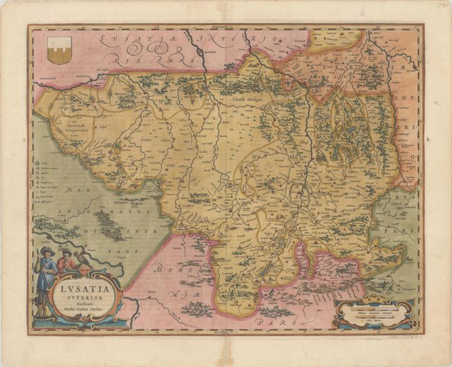
“Lusatia Superior. Authore Barthol: Sculteto Gorlitio”
Map Maker:
Blaeu [Family]
Attractive map of the historic region of Upper Lus... (full text available to subscribers)
| Item Detail |
| |
| |
MapMaker: |
Blaeu [Family]
|
|
| |
| |
Subject: |
Eastern Germany & Southwestern Poland |
|
| |
Period/Size: |
1642 / 16.1" x 20.6" (40.9 x 52.4 cm)
|
|
| |
Color: |
Colored
|
|
| |
Condition: |
(A) A fine impression with centerfold separations at top and bottom and an edge tear at top that have been repaired with archival materials on verso. There are a few minor spots of foxing. (condition help) |
|
| |
Source: |
Appendix |
|
| |
References: |
Van der Krogt (Vol. II) #2882:2. |
|
| |
|
|
| Sales Information |
| |
| |
Price: |
|
|
| |
| |
Offered by: |
Old World Auctions |
|
| |
Catalog: |
Auction No. 181 - Antique Maps, Charts, Atlases & Globes (9527) |
|
| |
Lot/Item #: |
488 |
|
| |
| |
Date: |
02/2021
|
|
| |
| |
|
Antique Maps - Valuation and Pricing, Descriptions, Resources |
|
Home |
Information |
Search |
Register |
Contact Us |
Site Map
Americana Exchange, Inc. © 1999 - 2024 Americana Exchange, Inc.. All rights reserved.
OldMaps.com, the OldMaps.com logo and
AMPR are service marks or registered service marks of Americana Exchange, Inc..
|