| Item Detail |
| |
| |
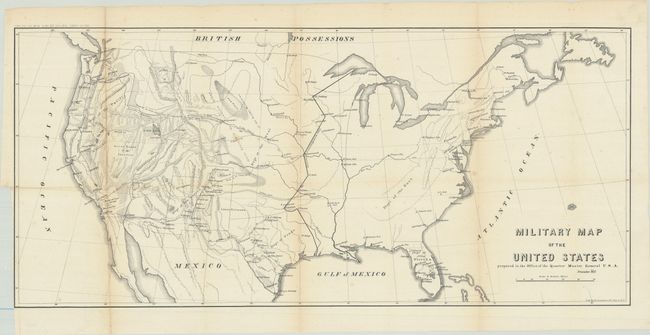
MapMaker: |
U.S. War Department
|
|
| |
| |
Subject: |
United States |
|
| |
Period/Size: |
1857 / 13.6" x 30.0" (34.6 x 76.2 cm)
|
|
| |
Color: |
Black & White
|
|
| |
Condition: |
(B+) Issued folding with a bit of light toning along a couple of folds and a binding trim in the left margin. There are some small splits at fold intersections, and a couple folds have been reinforced with archival tape. (condition help) |
|
| |
Source: |
|
|
| |
References: |
Wheat (TMW) #929. |
|
| |
|
|
| Sales Information |
| |
| |
Price: |
|
|
| |
| |
Offered by: |
Old World Auctions |
|
| |
Catalog: |
Auction No. 181 - Antique Maps, Charts, Atlases & Globes (9527) |
|
| |
Lot/Item #: |
132 |
|
| |
| |
Date: |
02/2021
|
|
| |
| |
|