Title:
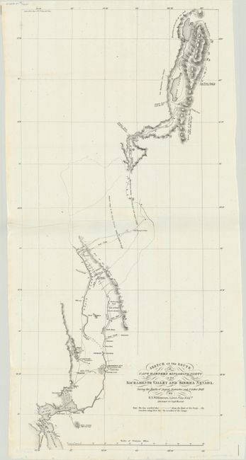
“Sketch of the Route of Capt. Warner's Exploring Party in the Sacramento Valley and Sierra Nevada. During the Months of August, September, and October, 1849”
Map Maker:
Robert S. Williamson
This map details the route of Warner's party from ... (full text available to subscribers)
| Item Detail |
| |
| |
MapMaker: |
Robert S. Williamson
|
|
| |
| |
Subject: |
Northern California |
|
| |
Period/Size: |
1849 / 23.5" x 11.1" (59.7 x 28.2 cm)
|
|
| |
Color: |
Black & White
|
|
| |
Condition: |
(A) Issued folding on a bright sheet with tiny edge tears confined to the bottom blank margin. (condition help) |
|
| |
Source: |
Sen. Ex. Doc. 47, 31st Congress, 1st Session |
|
| |
References: |
Wheat (TMW) #700; Wheat (Gold) #182. |
|
| |
|
|
| Sales Information |
| |
| |
Price: |
|
|
| |
| |
Offered by: |
Old World Auctions |
|
| |
Catalog: |
Auction No. 181 - Antique Maps, Charts, Atlases & Globes (9527) |
|
| |
Lot/Item #: |
217 |
|
| |
| |
Date: |
02/2021
|
|
| |
| |
|
Antique Maps - Valuation and Pricing, Descriptions, Resources |
|
Home |
Information |
Search |
Register |
Contact Us |
Site Map
Americana Exchange, Inc. © 1999 - 2024 Americana Exchange, Inc.. All rights reserved.
OldMaps.com, the OldMaps.com logo and
AMPR are service marks or registered service marks of Americana Exchange, Inc..
|