| Item Detail |
| |
| |
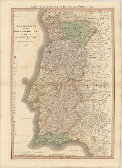
MapMaker: |
James Wyld
|
|
| |
| |
Subject: |
Portugal |
|
| |
Period/Size: |
1824 / 28.8" x 19.8" (73.2 x 50.3 cm)
|
|
| |
Color: |
Colored
|
|
| |
Condition: |
(B) A nice impression with light offsetting mostly in blank areas of the map. There are centerfold separations at left and right that have been closed on verso with archival materials, with the right separation extending 2" into the image. (condition help) |
|
| |
Source: |
|
|
| |
References: |
|
|
| |
|
|
| Sales Information |
| |
| |
Price: |
|
|
| |
| |
Offered by: |
Old World Auctions |
|
| |
Catalog: |
Auction No. 181 - Antique Maps, Charts, Atlases & Globes (9527) |
|
| |
Lot/Item #: |
480 |
|
| |
| |
Date: |
02/2021
|
|
| |
| |
|