| Item Detail |
| |
| |
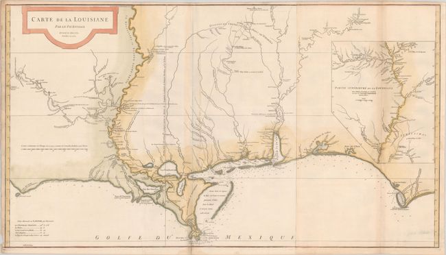
MapMaker: |
Jean Baptiste Bourguignon d'Anville
|
|
| |
| |
Subject: |
Colonial Southern United States |
|
| |
Period/Size: |
1752 / 20.4" x 36.4" (51.9 x 92.5 cm)
|
|
| |
Color: |
Colored
|
|
| |
Condition: |
(B+) Issued folding on watermarked paper with faint toning along the fold lines. There is a tiny chip confined to the lower left blank margin and a small dampstain in the bottom blank margin. (condition help) |
|
| |
Source: |
|
|
| |
References: |
Phillips (Atlases) #571-35; Lemmon, Magill & Wiese #24. |
|
| |
|
|
| Sales Information |
| |
| |
Price: |
|
|
| |
| |
Offered by: |
Old World Auctions |
|
| |
Catalog: |
Auction No. 181 - Antique Maps, Charts, Atlases & Globes (9527) |
|
| |
Lot/Item #: |
169 |
|
| |
| |
Date: |
02/2021
|
|
| |
| |
|